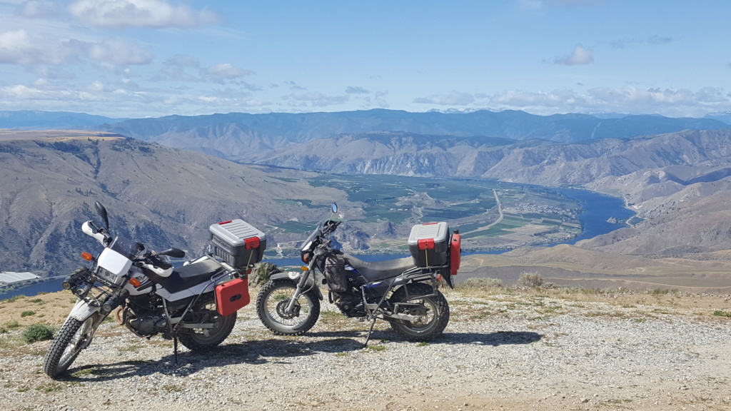
Here is a trip my son(29nate) and I took in 07' around the Olympic Mtns. If you live on the westside of the state you really should make this trip. If you have questions just let me know.
4 Day trip around the Olympic Mountains with 29Nate and Goldenhtr.
(If you live in the Northwest you must visit www.griptwister.com and buy this self guided tour and RIDE IT! It was incredible. Our TW's performed flawlessly on this trip.)
Day 1: Start Time 9am
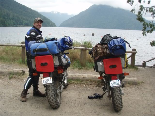
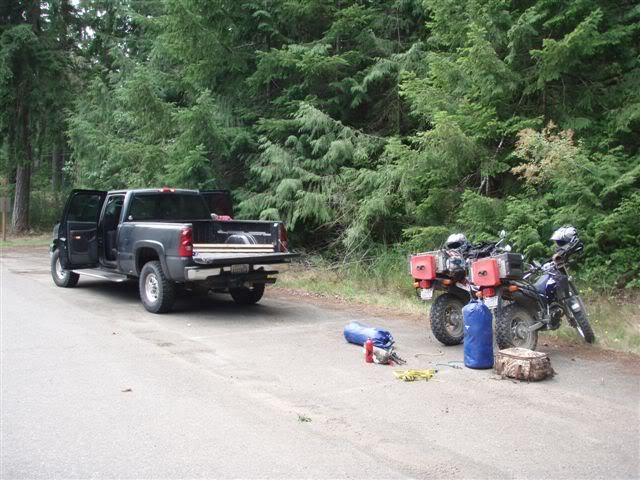
Loaded up and ready to go.
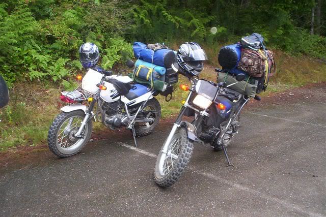
Quilcene to Sequim, Route B, was the first leg of our "Griptwister" self guided tour. The first 17 miles were of twisty single lane pavement to our first dirt road on the trip.
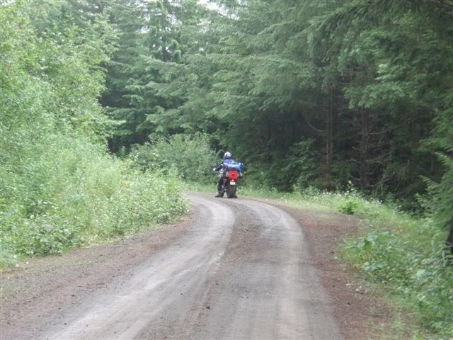
On to Route C Sequim to Sol Duc, we decided to skip the section of the trip going up to Hurricane Ridge & Mt. Zion trail, staying on Hwy 101 to get gas just before we hit the east shore of Crescent Lake for lunch.
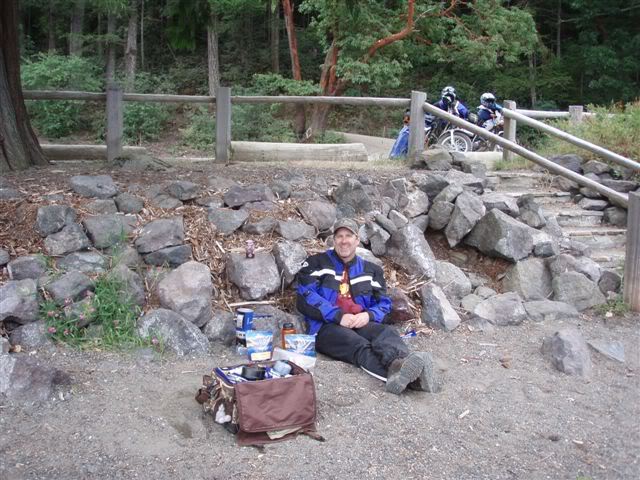
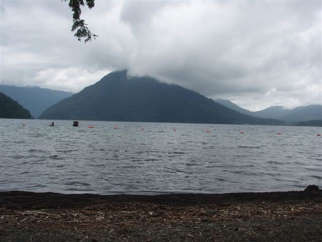
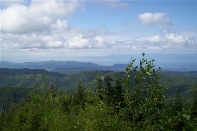
Pressing on after lunch we head up the east shore until the road headed north to HWY 112. We went west on HWY 112 until FS road 30 were we went south to our first nights camp at 3,000 feet with views of the Strait of Juan De Fuca & Vancouver Island.



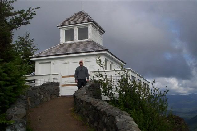
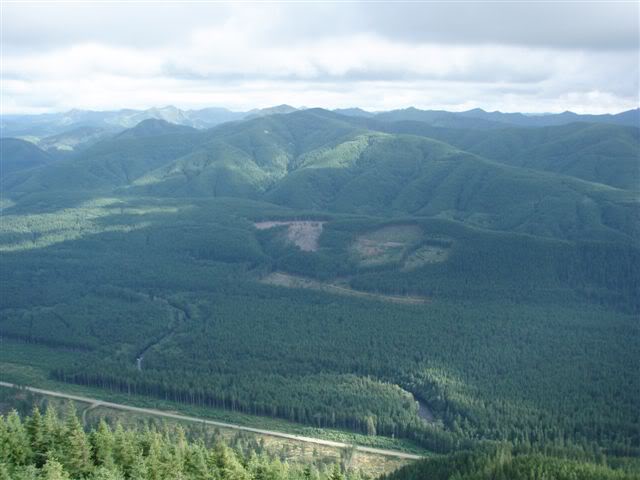
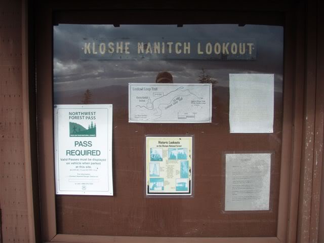
After setting up camp we took a side route up to Kloshe Nanitch Lookout, an old fire lookout with views of HWY 101 and the Sol Duc river below.
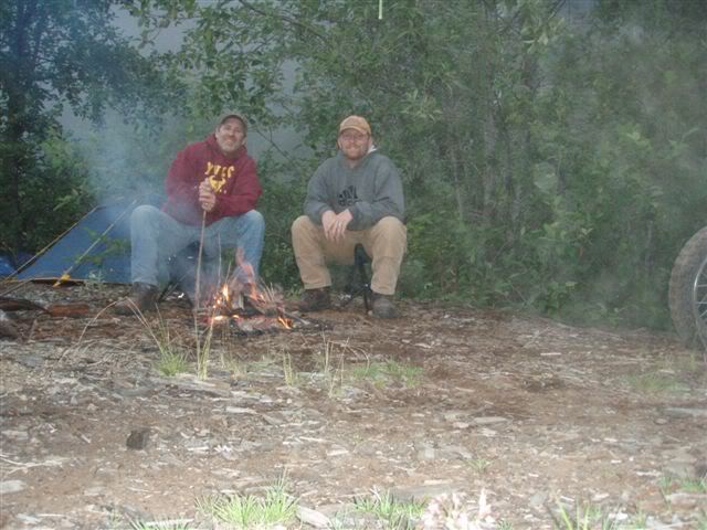
We then headed back to camp, made dinner, had a fire and went to bed at 9pm. Total miles day one: 116.5
Day 2: Start Time 7am
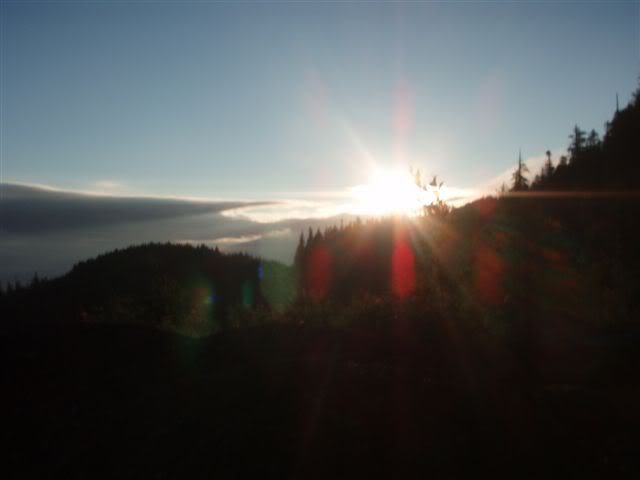
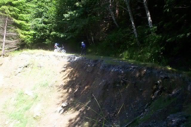
Up at 6am off at 7am descending 3,000 feet back down to HWY 101 were we loaded the wrong route of three choices, (thanks to not reading our route guide for the day) we ended up choosing the bypass route for the big bikes (BMW’s, ect.) for Route D. We wanted to hit the one of the longest paved forest service roads in the Olympic Mountains following the Sol Duc River. We choose to skip Route D with Route Z (the twisty road) but we took Route Y instead (the EZ route) do to the treacherously deep drainage bars on the decent of Route D. We ended up having to do the treacherously deep drainage ditches that weren’t treacherous at all unless you were doing 40mph. We were mad about this because we would have just done Route D to see the best campsites on the trip. Anyways, we did get to negotiate the big washout on the way down Route D.

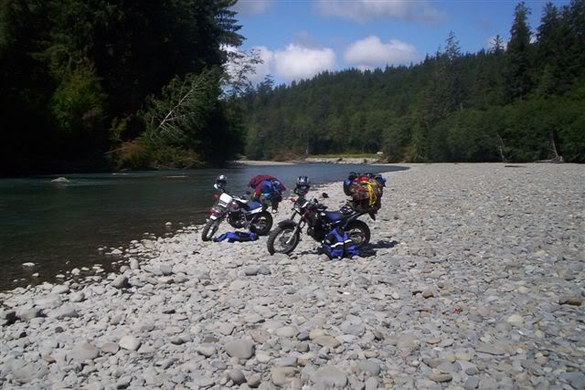
We then ended up heading down to the banks of the Hoh River for lunch.

Then we headed down to the town of Forks for gas and to refill our water for our MRE’s. Then we headed down to Hwy 101 to see Cottonwood Campground and to our surprise we found that we could ride on the river banks.
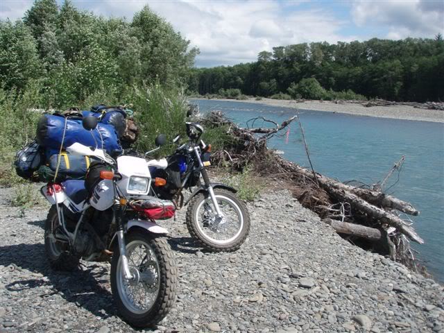
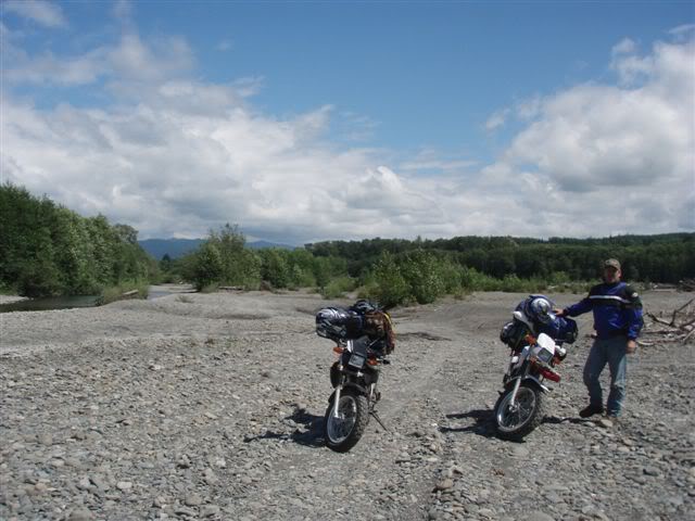
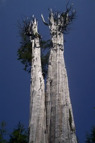
Then back to HWY 101 were we took the Coastal Side Route bypassing Route E and going to the beach. On the way to the beach we made our own side route and went and saw the World’s Largest Western Red Cedar Tree (19.4’ in diameter, and 178 feet tall.
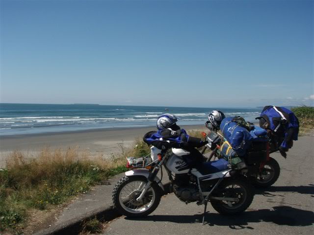
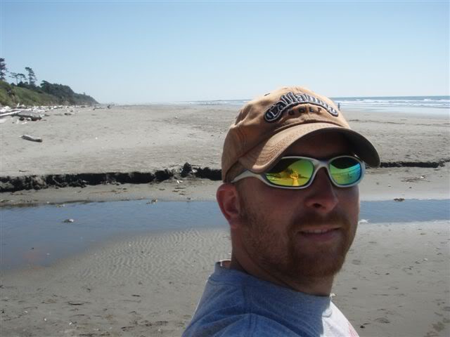
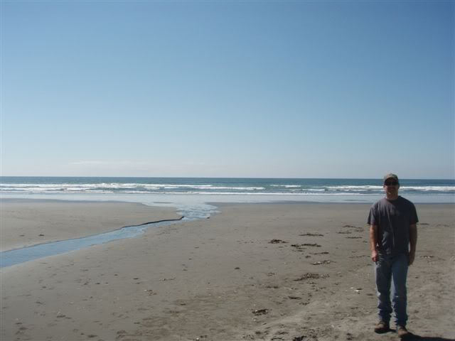


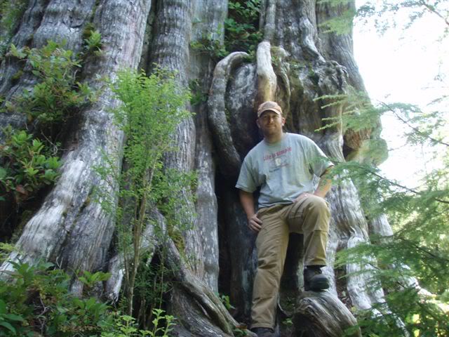
From here we head south on HWY 101 to get gas at Queets (the last gas stop for 125 miles) then on to the start of Route F (Queets to Quinault). The first 30-40 miles of this route were flat, straight and boring gravel roads. We saw a few bear hunters along the way. Then we got back to HWY 101 headed south for 2 two miles and headed around Lake Quinault. We stopped at the story pole carving placed by some other riders that live on the lake, took some pictures and signed the guest book.

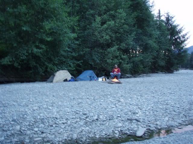
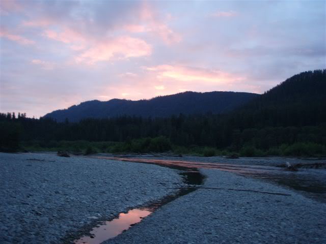
Then we headed on to find a campsite for the night. We found a nice site on the Quinault River north of the lake. Here we believe was our best campsite of the trip. We saw a big Black Tail buck and doe. The buck was a nice 3 point still in velvet. No pics unfortunately it was a little too dark for the setting I had the camera on, I couldn’t get it to the correct setting quick enough. Then we went to bed at 10pm. Total miles day two: 186.8

Day 3: Start time 9:30am.
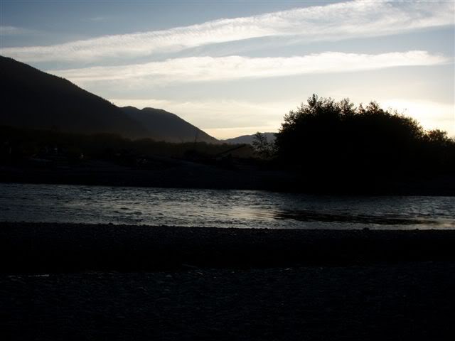
We had a late start to this morning, to let things dry out. It didn’t rain but things still got wet and we didn’t want to pack the tents away wet again.
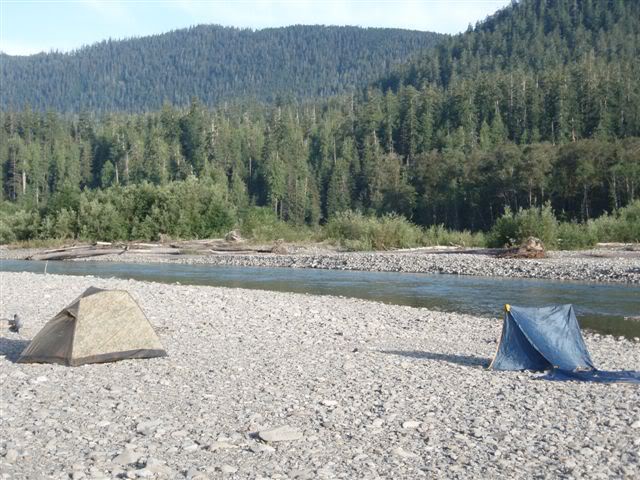
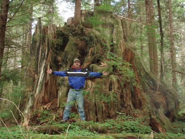
We hit HWY 101 again for 7 more miles to the start of Route G (Quinault to Wynoochee). Near the start of route we stopped to see a giant cedar stump that was pushing 20 feet in diameter.
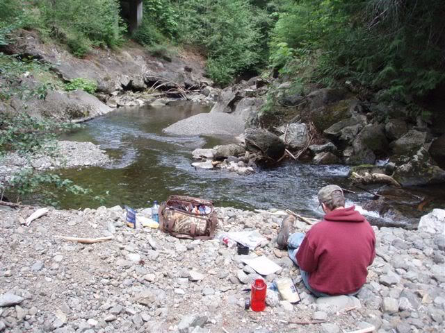
Continuing on we had lunch by Big Creek which was a short hike down to the beach.
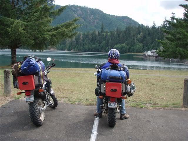
Then it was on to Lake Wynoochee and it’s dam.
Then we headed to our first water crossing but we couldn’t cross due to campers on other side that dammed the creek at the crossing which made it to deep for us to cross. Might have been able to be done but we didn’t feel like being wet the rest of the day. So we back tracked back to the dam to take the “Water Xing Bypass” going around the other side of the lake to meet up with the original route where we started Route H (Wynoochee to Hoodsport). Then we turned off to an older FS road that had several drainage ditches but this time we were going up hill. This is where I (Nate29) had to stop and re-load my bike to do my dad (Goldenhtr) noticing things falling off my bike due to the rough nature of the road.
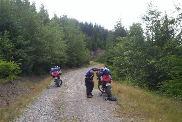
Next we were off to one of the Satsop Lakes.
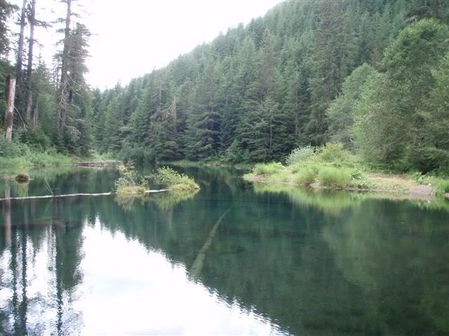
…on to another high climb over a pass and back down to Skokomish River.
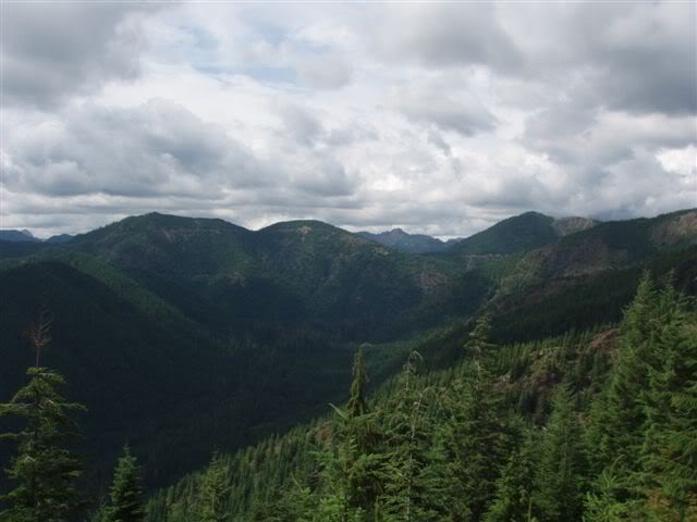
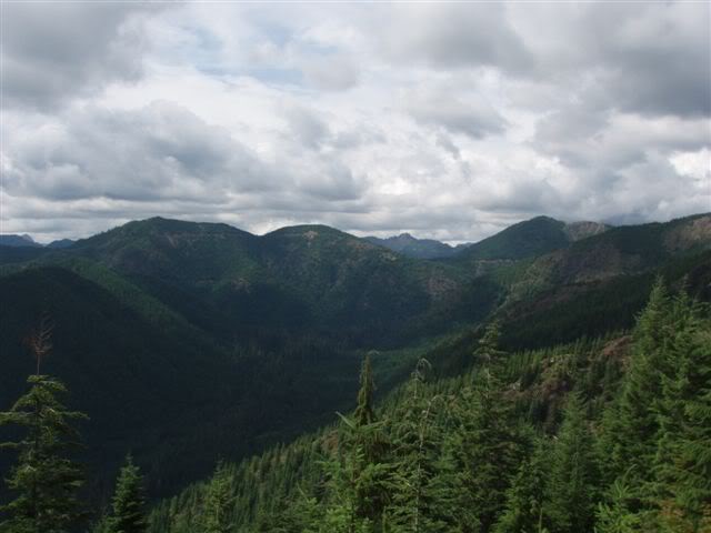
Being Saturday we saw more cars on the road as we traveled today by Spider Lake. The gravel roads here were long, straight and in great condition, so we were able to make some good time through this stretch of road hitting near 45mph at one point. This led to an old train trestle, high above the valley floor, was converted for vehicle use.
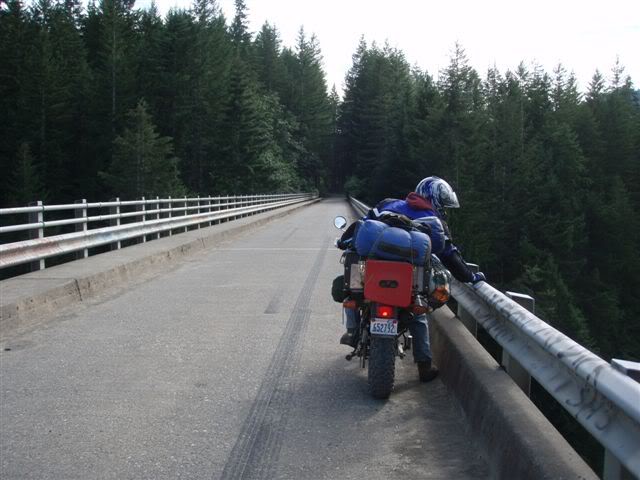

Then we took the Skokomish Valley Road (with all the crazy drivers going up for a Saturday afternoon) down to Hwy 101 & Hoodsports. We then started Route A (Hoodsport to Quilcene) our final route of the trip.
Out of Hoodsport we headed toward Lake Cushman were we stopped in at Lake Cushman Resort to look for a nice comfy cabin. This was our last night and we wanted some nice beds to sleep in but no luck as there was no room in the Inn. So, we headed on up the road continuing to look for a campsite, but being Saturday there was not much to choose from. We had no choice but to keep moving on up over Washington Pass as the day was getting late.
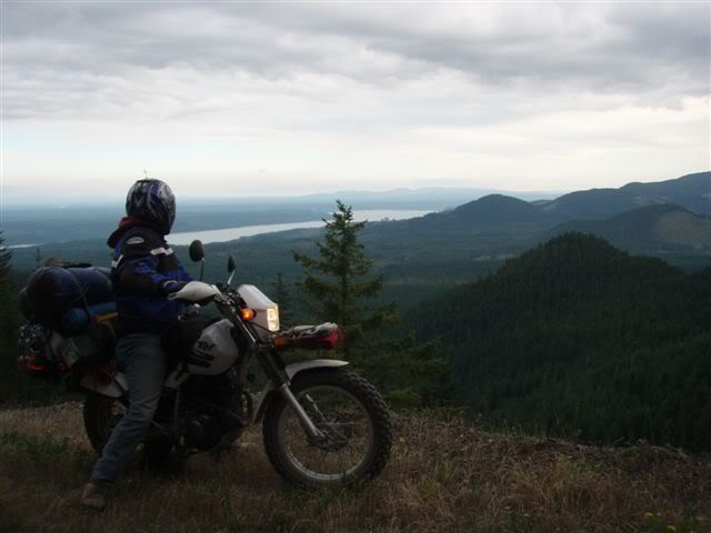
Down the other side we found a 1 star campsite as all the better sites were taken. But it tuned out to be nice enough. Total miles day 3: 158

Day 4: Start Time 8:30am
After our first night with rain we had our first morning fire to warm up. We then packed up, left and headed along and across the Hamma Hamma River where there were many camping sites and everyone of them was full on our way back to HWY 101.
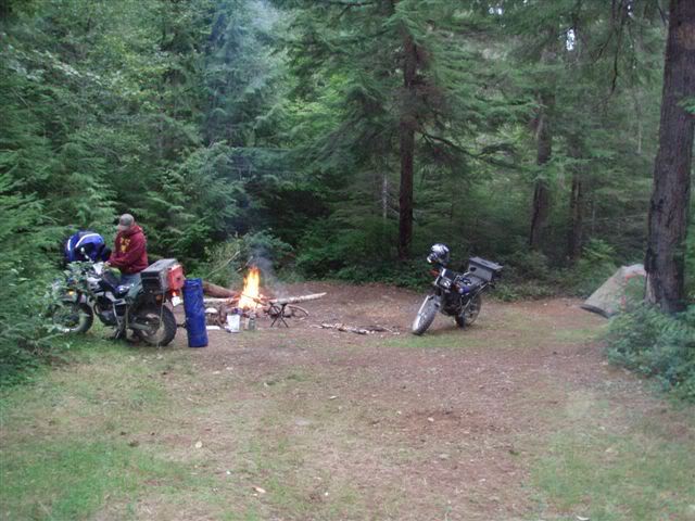
the Hamma- Hamma river
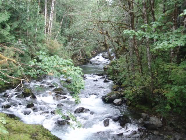
Then we headed up the Duckabush Valley after a quick pit stop for a bathroom break right next to the Lucky Dog Casino. At the height of this pass we had some great views of Hood Canal but do to low cloud cover they could have been better.
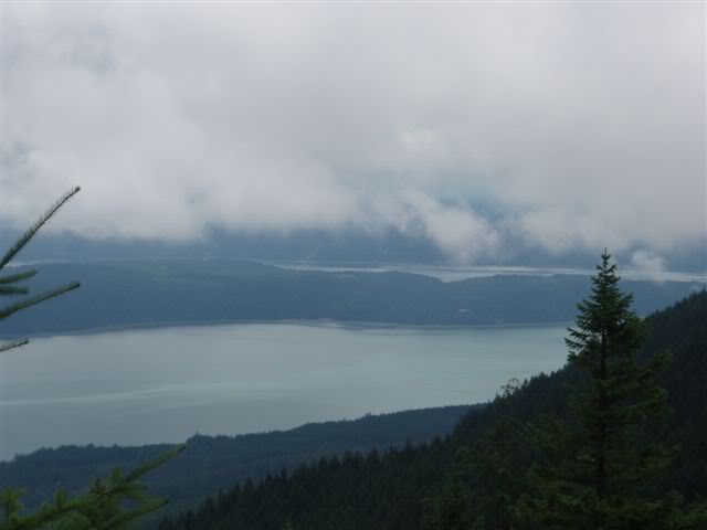
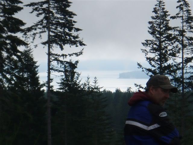
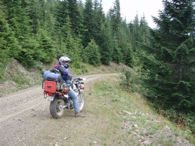
We were then on the way back down through National Park and what we called the scary forest.
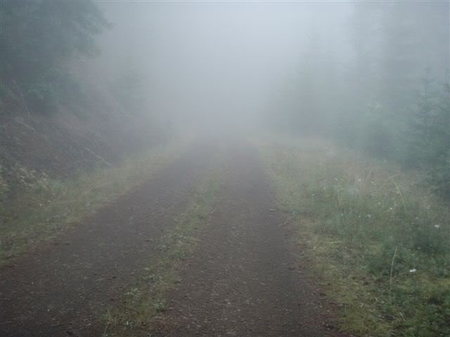
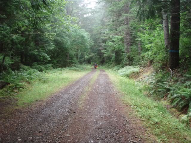

Above 2,000 feet we were in the clouds. Then back down to HWY 101 and through the town of Brinnon and back up in to the hills for one last time before we hit Hwy 101 for a few more miles to finish our trip off, back to Quilcene were we started. Total miles day 4: 62.9 Total Trip Miles: 546.2
More than 300 pic's & video's available at: https://s57.photobucket.com/albums/g229/craina2944/Olympic%20Ride%20August%202007/?start=all
