rm_hm
Posts : 82
Points : 114
Reputation : 0
Join date : 2009-09-22
Age : 51
Location : Near The Narrows Bridges, Washington State
 | | Subject: Re: Some New Pacific Northwest Riding Rules 7/18/2010, 9:03 pm | |
| I've already had my bike inspected 7 or so times since last October in the Gifford Pinchot Nat Forest.
P.S. They are closing summit creek and soda springs campground near Packwood due to a dwindling budget. | |
|
mrgizmow1

Posts : 250
Points : 245
Reputation : 6
Join date : 2008-12-21
Age : 75
Location : Paradise, Calif
| | Subject: Re: Some New Pacific Northwest Riding Rules 7/18/2010, 5:14 pm | |
| The Mendecino National forest (Calif) seems to have been doing this for many years. I did a 65 mile ride last year in full compliance and did not see a Ranger all day. Gerry | |
|
Admiral
Moderator

Posts : 116
Points : 201
Reputation : 1
Join date : 2010-06-08
Age : 63
Location : Sand Hollow, Idaho
| | Subject: Re: Some New Pacific Northwest Riding Rules 7/18/2010, 5:59 am | |
| "Roads and trails no longer will have signs posted with permissible uses." WTF. WTF indeed!
Now, I am a responsible rider and obey the regulations on where to ride, but this is getting ridiculous. Looks like funding issues, reduce or eliminate Forest Service positions which would be used to maintain signage; 2) making money at the expense of the non-map carrying public.
I'm guessing this is going to spread like wildfire.
| |
|
rm_hm
Posts : 82
Points : 114
Reputation : 0
Join date : 2009-09-22
Age : 51
Location : Near The Narrows Bridges, Washington State
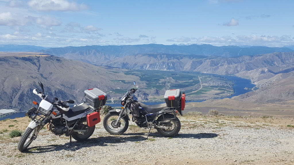
| | Subject: Some New Pacific Northwest Riding Rules 7/17/2010, 8:41 pm | |
| Courtesy of Gamuru over at pnw riders..
MVUM & You
MVUM? What the hell does that stand for?!? Well, let me tell ya... Motor Vehicle Use Map. And you better have one with you the next time you decide to set a motorized tire on the Mount Baker-Snoqualmie National Forest. That's right. Much like going fishing and hunting in this state, you'll need to have your lawyer on speed dial so you can consult with him before you turn down that gravel road or turn up that overgrown path. Is it really all that bad? Am I making a mountain out of a mole hill? Grab a forestry service map and the new MVUM and compare the two then decide for yourself. I did and noticed quite a few roads that are suddenly off limits because they don't appear on the MVUM.
http://pnwriders.com/blogs/gamuru/755-mvum-you.html
--------------------------------------------------------------------------------------------------------------------------------
News Tribune Article
Starting this weekend, visitors driving in the Mount Baker-Snoqualmie National Forest will need a map showing what type of motor vehicles they can use and where they can use them.
Roads and trails no longer will have signs posted with permissible uses. WTF
The maps are free at Forest Service offices and on the Mount Baker-Snoqualmie National Forest website at www.fs.fed.us/r6/mbs.
People traveling on a forest road, area or trail not shown on the motor vehicle use map can be cited.
The map is a result of the 2005 National Travel Management Rule requiring each national forest to assess road systems to limit environmental damage caused by off-highway vehicles. The rule does not apply to snowmobiles.
The entire 2,600-mile road system on the Mount Baker-Snoqualmie National Forest is open to state-licensed, street-legal vehicles. About 100 miles of forest trails are open to motorbikes, and one area, Evans Creek, is open to other vehicles including quads.
Use of the popular Evans Creek area will not change, but users must have a map in their possession.
The Evans Creek area, off state Route 165 near Mount Rainier National Park, has been the focus of a separate planning effort, which the map notes.
Jeffrey P. Mayor, staff writer
To print the map, go to http://tinyurl.com/MtBakerMVmap or call 360-436-1155 for more information.
| |
|
Sponsored content
| | Subject: Re: Some New Pacific Northwest Riding Rules | |
| |
|